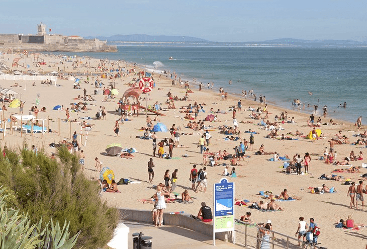
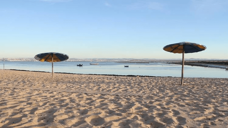
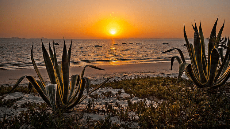
There is no doubt that many tourists visit Portugal in search of beach time. With an abundance of sunshine, the beach should be a must-see for all tourists.
But what about Portugal’s river beaches? There are numerous beautiful rivers inland that are well worth a visit, despite the fact that the coast receives more attention.
In the summer, the beaches are crowded with holidaymakers who like to swim in the ocean and sunbathe. There are river beaches in close proximity to Lisbon that could serve as an alternative.
Clube Naval Beach

Praia do Clube Naval, also called Praia do Bico Mexilhoeiro or “the beach of Barreiro,” was one of the most popular beaches south of Lisbon in the 1800s and the first 10 years of the 1900s. It is part of a group of three river beaches called the Circuito Ribeirinho do Barreiro. It is a peaceful and beautiful place where you can sit on the sand or on the restaurant’s terrace and watch the river landscape with Lisbon in the “background.”
Location – 38° 39′ 24.7′′N 9° 05′ 32.2′′W
Alburrica beach
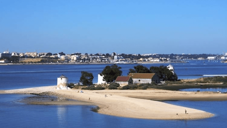
This river beach, formed by a small peninsula, was once an important milling center, which is why it still has a spectacular collection of three windmills: erected in 1852, the Gigante, Nascente, and West are evidence of the historic and prosperous activity of milling and husking cereals that came from the southern plains. The expansive sand beach contains a bar with a terrace and a parking lot immediately adjacent to it.
Location – 38° 39′ 19.97′′ N, 9° 04′ 57.94′′ W
Ponta dos Corvos beach

This river beach, known locally as Praia dos Tesos or Ponta de Mato, and located close to Corroios in the municipality of Seixal, was the first classified beach in the Tagus estuary to allow bathing. According to a press release, the municipality of Seixal will conduct the requalification that will “transform the Praia dos Seixalenses into an innovative space that will include the natural beach and a small artificial island, which can accommodate a small hotel, a dock, or restoration spaces” as part of the Portugal 2020 project. There is support infrastructure, such as a picnic area with grills, outdoor showers and toilets, and even a fire department.
GPS geographic coordinates: lat 38.6472625, lon -9.0976049
Address: Miratejo, Portugal
Samouco Beach
A day trip to Samouco Beach and pink flamingos awaits you on the ferry from Lisbon to Montijo.
Location: away from the masses, on the south bank of the Tagus.
On the way out of Samouco, there is a river beach with a picnic area, picnic tables, grills, restrooms, a grassy area, and a playground for children. Before you get to the beach, there is public sports equipment and a mini-skate park along the pedestrian circuit.
How to get to Praia Do Samouco Beach, with a length of 816 meters near Alcochete GPS geo-coordinates: lat 38.7350471, lon -9.0094746.
Praia dos Moinhos
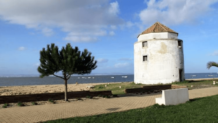
Praia dos Moinhos is a beach in Alcochete with a restaurant or cafe where you can enjoy a drink and look out over the Tagus while taking in the scenery.
Praia dos Moinhos, also known as Praia de Alcochete, is known not only for its three decommissioned windmills, but also for its calm, warm, and shallow water, which provides ideal conditions for wind sports such as kitesurfing and paddlesurfing. Kite flying is an option for the less daring. There is also a section with various exercise equipment, such as rowing machines, bicycles, treadmills, and a suspension arch.
Location – 37°05’23.3′′N 8°11’26.0′′W
Praia da Saúde
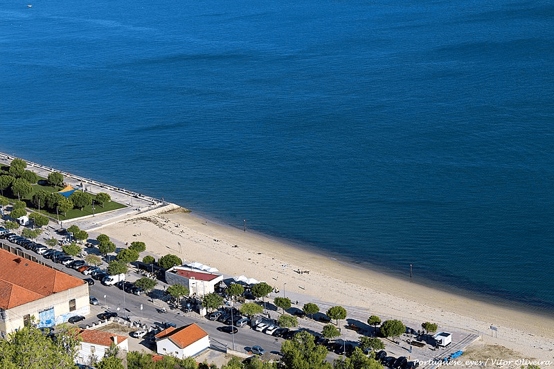
The river and the beach are two uses for the same space. The Atlantic Ocean’s tides and currents, in addition to the river Sado that flows into it, supply its water. Setúbal, at the base of Serra da Arrábida, is a popular tourist destination thanks to its convenient location in the heart of Portugal. However, be wary as the rocks can be hazardous when the tide is low. The Rockalot is a café-bar with a terrace, serving quick meals and an extensive cafeteria menu at affordable prices, and is conveniently located near the Parque Urbano da Albarquel and Jardim da Sade.
Location – 38.5169° N, 8.9060° W
Rosario Beach
Praia do Rosário, located in the municipality of Moita, is the last river beach on the Tagus and boasts the longest stretch of sand, measuring around one kilometre and strewn with oyster shells. The support infrastructures stand out, such as the Baía Tejo seafood restaurant with a riverside terrace, the children’s playground, and the two shaded picnic spaces with grills. Don’t forget to appreciate the late-afternoon light in the churchyard of the Manueline chapel on Mar do Palha.
Location – Rosario Beach Largo das Forças Armadas 20 thicket 2860-626
Valada Beach

Instead of going to the beaches on the Lisbon waterfront on weekends when the temperature is high, try a little harder and head to the village of Valada in Cartaxo. On this river beach with a picnic area, you can swim in the Tagus; on the opposite bank, you can observe the village of Escaroupim with its traditional “avieiros” houses (nomadic fishermen from Vieira de Leiria). In order to support the river beach and the pier, there is one bar with a terrace.
Patacão Beach
This river beach is situated on the banks of the Tagus River in Ribatejo territory, close to an abandoned fishing village. Despite the deterioration, the wooden stilt buildings, which were constructed with the winter floods in mind, still retain their charm, and the area is incredibly peaceful, spacious, and home to many other features. You may choose to go swimming or park the car and have a picnic.
Penedo Furado Beach
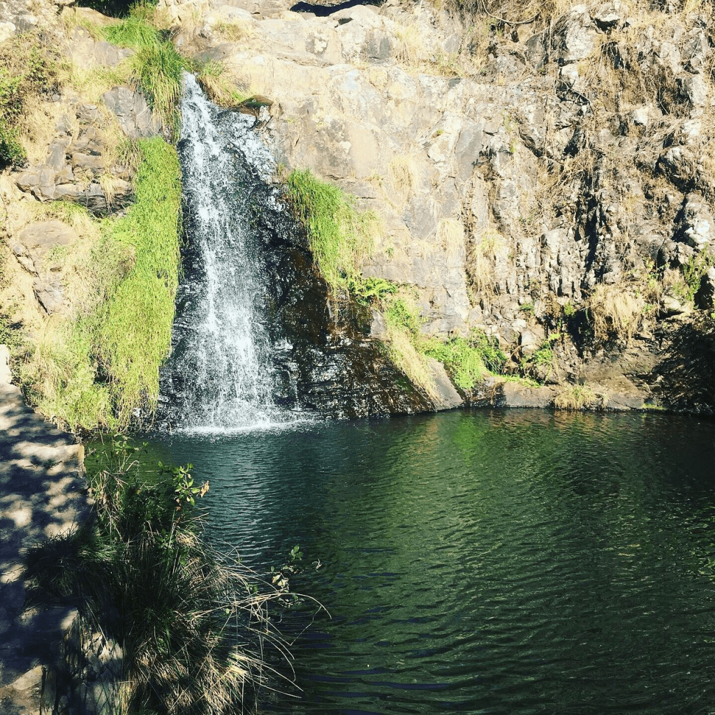
Swimming area with a picnic tables & BBQ areas, plus a nearby waterfall.
This is one of the most well-known locations in the municipality of Vila de Rei, due to the natural passage in the rock and the stream dividing the rocky massif from the start. The waterfalls that form Penedo Furado’s natural pools are known as “snorts.” The beach’s shallow depth makes it ideal for family outings, though camping is also popular there. The beach has toilets, a bar, and sand. Everything supports a kid-friendly pool that has just the right temperature.
At the highest point, there is an impressive rock with a large funnel-shaped opening that gives the beach its name and was the inspiration for the Penedo Furado Viewpoint. From there, you can view the landscape of pine-covered mountains and hills, the Codes river, the reservoir of the Castelo de Bode dam, and the surrounding villages.
It’s almost two hours by car, but it’s worth it.
Latitude. 39.6254° or 39° 37′ 32″ north ; Longitude. -8.1625° or 8° 9′ 45″ west