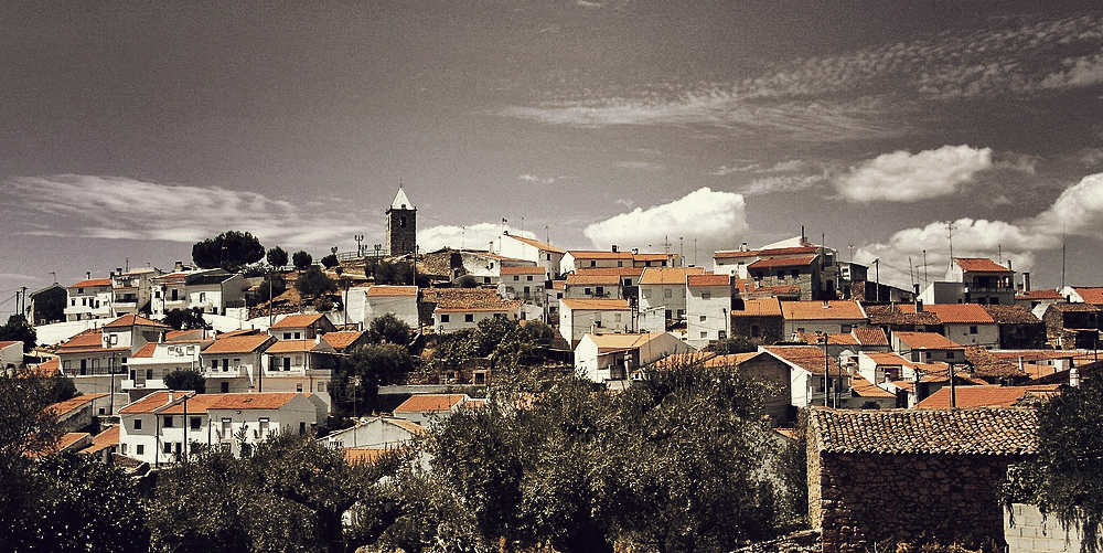
The village of Freixiel is located in the municipality of Vila Flor at an elevation of 350 metres, between two hills at the foot of a valley surrounded by the mountains of Folgares, Cabreira, Mós, Pessegueiro, and Vieiro. The valley of Freixiel has been inhabited from prehistoric times, as proven by the discovery of the Castro, the Salgueiral Necropolis, a Roman fountain and mill, and the remnants of a Medieval Bridge.

The village’s history is recounted via its heritage, which should be carefully observed: the Pelourinho, a property of public interest, and the Forca, a one-of-a-kind example in Portugal and a reminder of the time of the death sentence, which is also recognised as a property of public interest.

As you stroll through the village’s lanes, take note of the granite cottages with flower-adorned balconies and the olive orchards and vineyards that dot the landscape: you have arrived in the Douro Region! Additionally, keep an eye out for the Church of Santa Maria Madalena, the Freixiel Parish Church, the Chapel of Nossa Senhora do Rosário, the Roman Fountain, and the emblazoned manor residences, one of which features a Manueline window. Visit the Ethnographic Museum in the village.


A winery and tasting facility for Douro and “Porto Canho” wines are located in the village of Freixiel. Consider it! The village is home to the atelier of painter Graça Morais, a parishioner’s daughter who was frequently inspired to make her paintings by Freixiel. The village’s signature dishes include roasted lamb and lamb, folar, and smoked pork. Lace and saddles are used to create distinctive workmanship. Near this land of legends, the “Lenda do Castelo” (about an enchanted rock in Freixiel’s fort) and the “Lenda do Olival” (about a fountain where an enchanted Moor lived) stand out.
LOCALIZATION
Bragança, Portugal
| coordinates | 41° 18′ 55″ N 7° 14′ 58″ W |